Stay Ahead with Expert Insights & Industry Trends
Innovation moves fast, and so do we. Our Insights page keeps you informed on the latest trends, regulatory changes, success stories, and emerging technologies shaping Florida’s development landscape.
Whether you’re a developer, municipal planner, or contractor, you’ll find valuable content to help you plan smarter and build better.
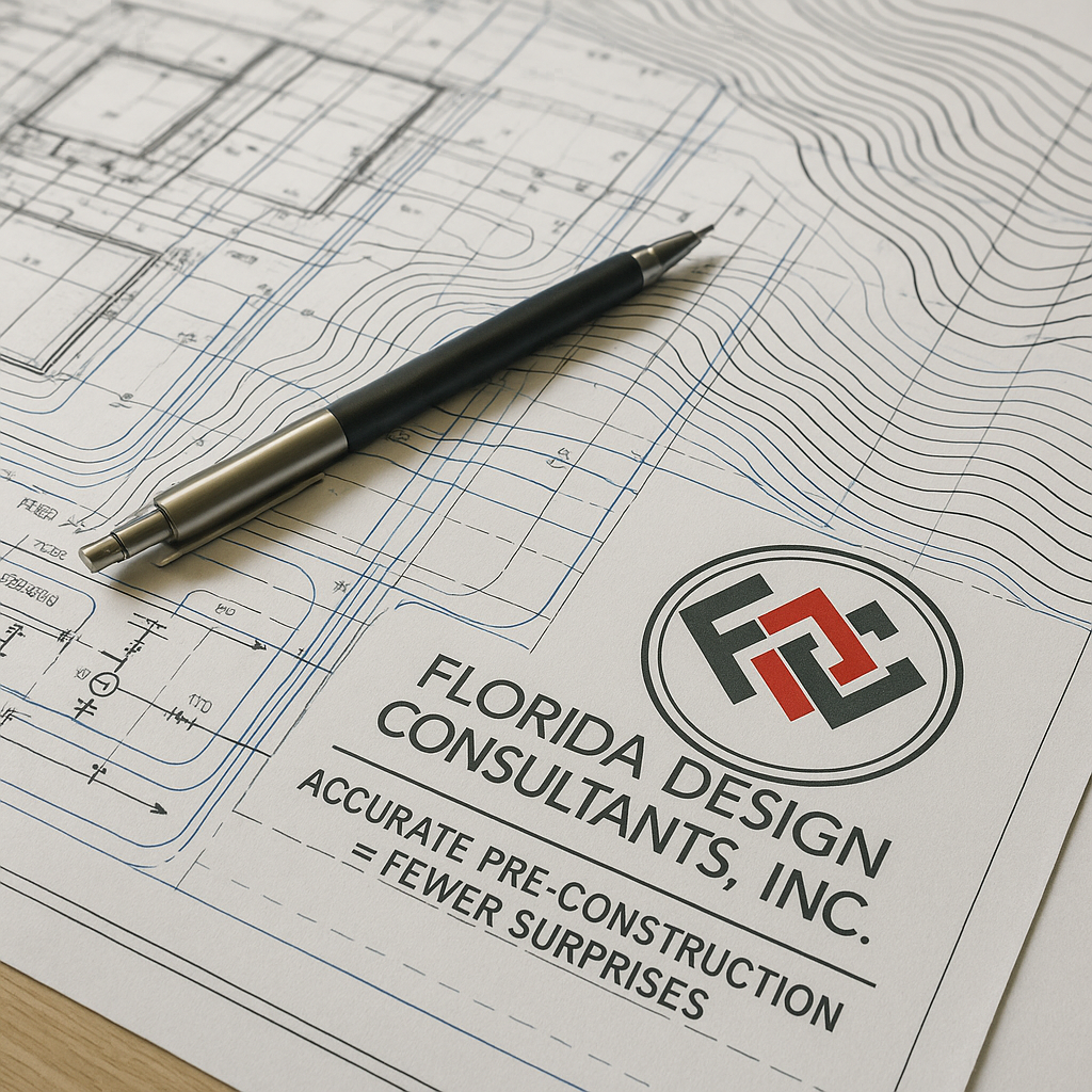
Avoiding Costly Mistakes with Accurate Pre-Construction Preparation
Construction projects often go over budget and over schedule, and the root cause often traces back to the pre-construction phase. According to McKinsey, large projects take 20% longer to finish and can cost up to 80% more than planned (McKinsey).
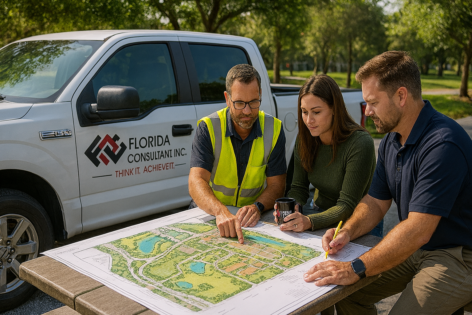
At Florida Design Consultants (FDC), we have seen firsthand how thorough preparation prevents those pitfalls. Pre-construction is not just paperwork, it is the foundation for your entire project. When done right, it saves time, money, and headaches.
Why Pre-Construction Preparation Matters
The earliest stages of a project determine its success. Pre-construction preparation builds the roadmap for everything that follows, ensuring the site, design, and permitting processes are ready to support construction.
Pre-construction preparation includes:
- Site surveying and assessments
- Drainage and utility design
- Zoning, entitlements, and permitting reviews
- Environmental and topographical studies
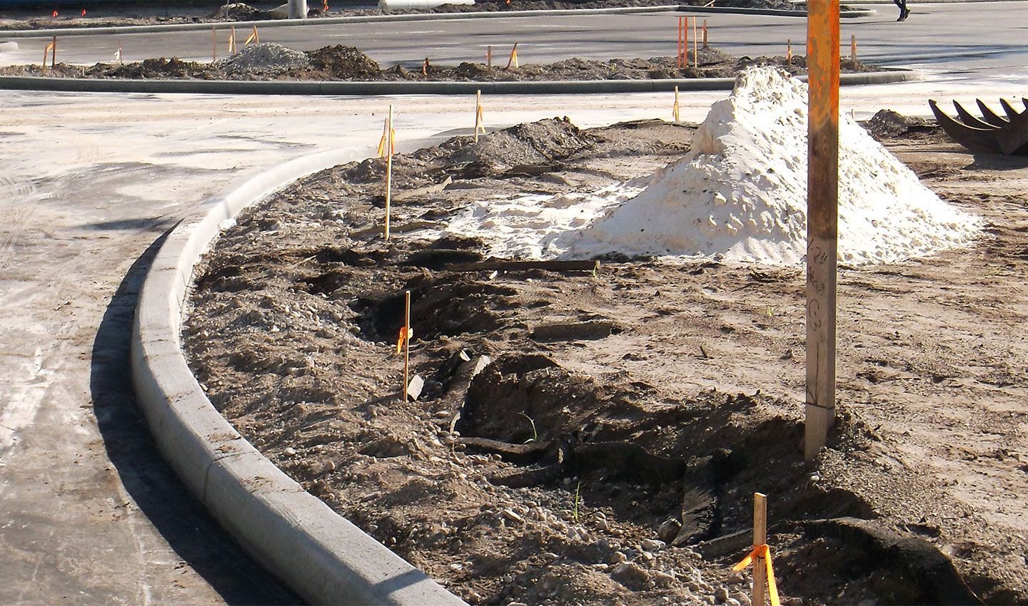
Skipping or rushing these steps introduces risks that may not surface until construction, when fixes are far more expensive.
Search trends and projects
Transforming Projects with Cutting-Edge Drone Technology
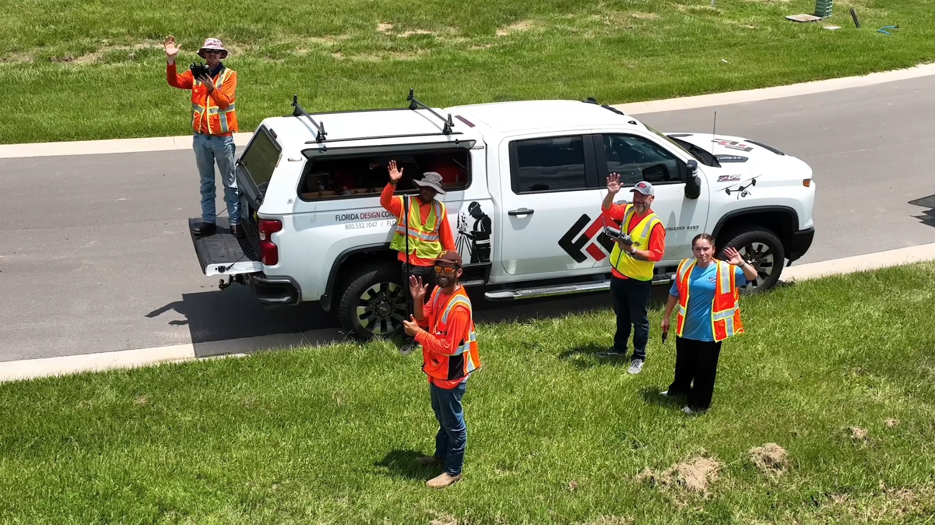
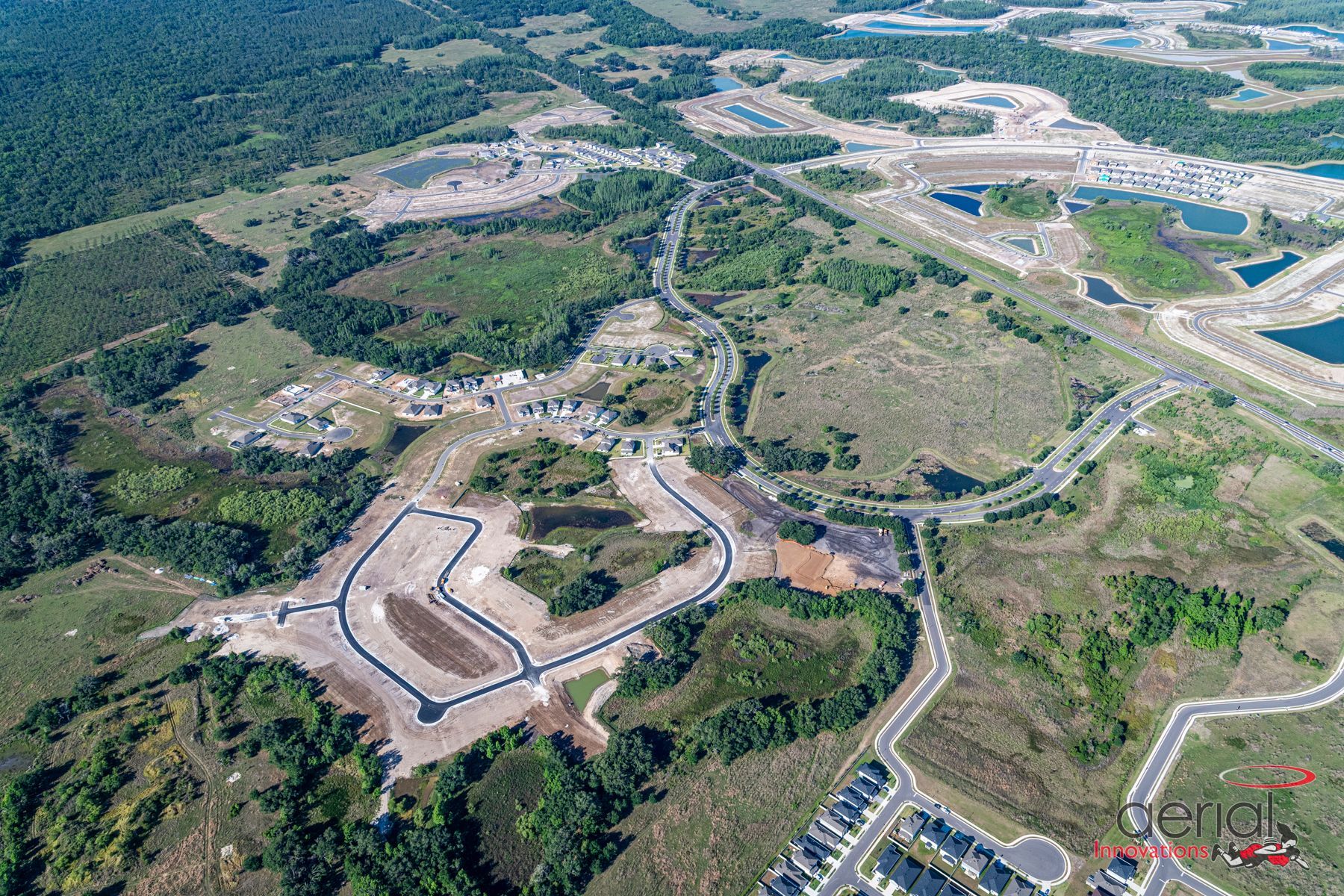
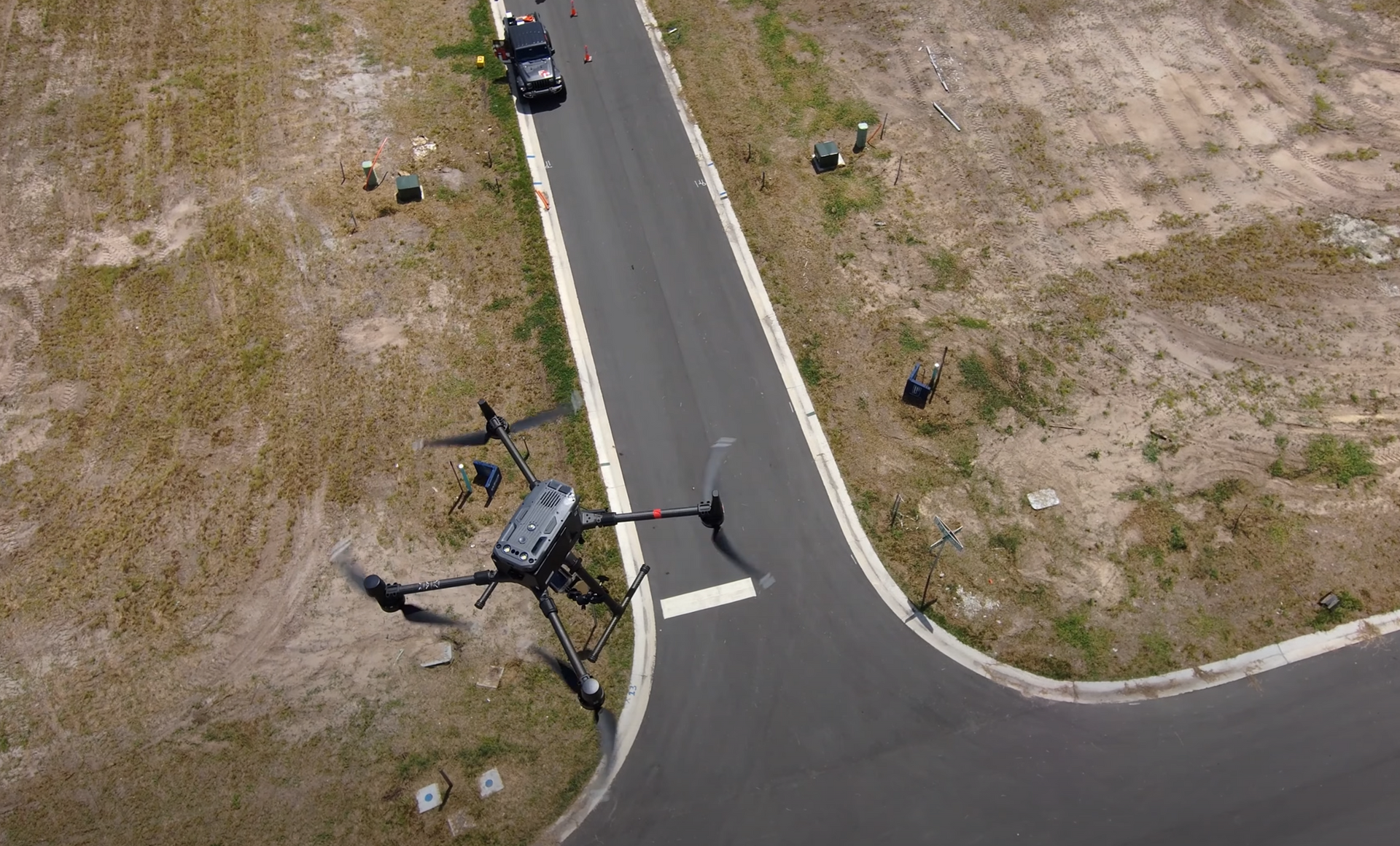
At Florida Design Consultants (FDC), we’re committed to giving our clients smarter, faster, and more accurate results. That’s why we’ve partnered with Rock Robotic, a leader in drone-based LiDAR and 3D mapping technology. Together, we bring advanced aerial data collection and modeling to every project—helping our clients reduce risks, streamline permitting, and make more informed decisions from the very start of development.
Watch the videos below to see how this collaboration is transforming the way projects are planned, designed, and delivered.
Watch Real Land Surveyors Test the Best New Drone LiDAR – ROCK Ultra
2025
FDC and Rock Ultra
2025
Want to see more? Visit the FDC YouTube page for additional insights and project highlights.
Ready to Bring Your Vision to Life? Let’s Connect.
Have a question or a project you’d like to discuss? Our team is here to help. Reach out to us by phone, email, or visit our office, and let’s start the conversation.
Contact Us
800-532-1047
info@fldesign.com
17907 Aprile Drive, Suite 150
Land o Lakes, FL, 34638
Contact Us
We will get back to you as soon as possible.
Please try again later.


