REMOTE-CONTROLLED SONAR BOAT
Many of the stormwater ponds throughout Florida are too deep for a surveyor to wade into and are too small for a boat. FDC’s solution is a remote-controlled survey-grade sonar boat. The boat has a military-grade sonar that talks to our GPS systems. As the boat is remotely driven around the water body it is recording depth readings. The data is then processed by our office staff and can be used for asbuilt information, topographic data, cost estimates, etc. The use of the sonar boat has substantially reduced costs as compared to traditional survey methods. FDC’s sonar boat can be used in all water bodies found in Florida and can be operated by one person.

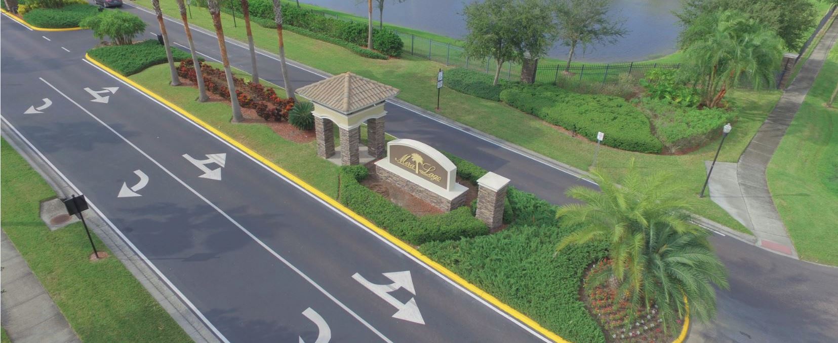
AERIAL DRONE
In the past, getting a current aerial photograph of a site was an expensive and long process. To alleviate these issues FDC uses a drone to take photos and videos of our job sites. Within minutes our drone can start taking images which can then be downloaded and provided to our Clients. There is a multitude of uses the drone can be used for, including, marketing images/videos, recording site conditions, general aerial images/videos, project progress images/videos, etc.
With our FAA-licensed pilots and the latest in photogrammetry software, FDC utilizes its drone fleet to collect survey-grade data, therefore enhancing not only its ability to meet tight deadlines but also providing our clients with the most accurate and highest quality products available today.