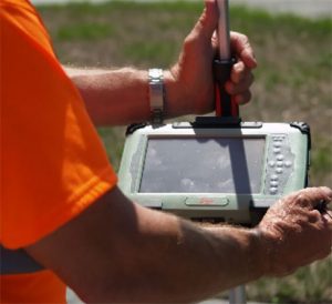
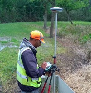
Florida Design Consultants (FDC) was engaged by Pasco County Stormwater Management Division to perform field data collection of stormwater infrastructure assets. This work included providing data in a format that seamlessly integrated into the existing County’s Enterprise System. Using state-of-the-art GIS equipment (Leica Zeno CS24 with GG03 Antennae), our GPS field Crews were able to collect elevations and attributes in in real time (RTK). The field GPS crews used ESRI ArcPAd with a customized applet to store all the field attributes, thus negating the need to translate data into other formats. Crews were able to establish Vertical control via conventional methods where sufficient vertical control does not exists to verify the GIS units.
The FDC Analyst and technicians then imported the data into a custom file geodatabase and corrected any field mistakes. All data went through a 3-step process to assure the data was correct, all attributes were collected and all line work was connected. A geometric network was then created from the features to assure connectivity.


