The construction and land development industries are undergoing significant transformation. The rise of new technologies like 3D modeling, drones, and LiDAR is reshaping how land developers, contractors, and home builders manage projects. However, despite these advancements, the industries continue to face familiar challenges: project delays, cost overruns, and disputes over site conditions.
As we move forward, innovative solutions must be embraced to stay competitive. In this blog, we’ll explore the latest trends in construction technology, the ongoing challenges the industry faces, and how advanced solutions like 3D terrain modeling can provide answers.
Industry Trends: The Push for Data-Driven Construction
With increasing pressure to reduce costs, improve efficiency, and maintain transparency, companies in construction, land development, and home building are looking toward data-driven technologies to meet these demands. According to a McKinsey report, early adopters of digital tools like 3D modeling, drones, and real-time data analytics have seen project costs drop by up to 15%. This shift towards technology not only optimizes workflows but also minimizes risks.
Key technological trends shaping the future of construction include:
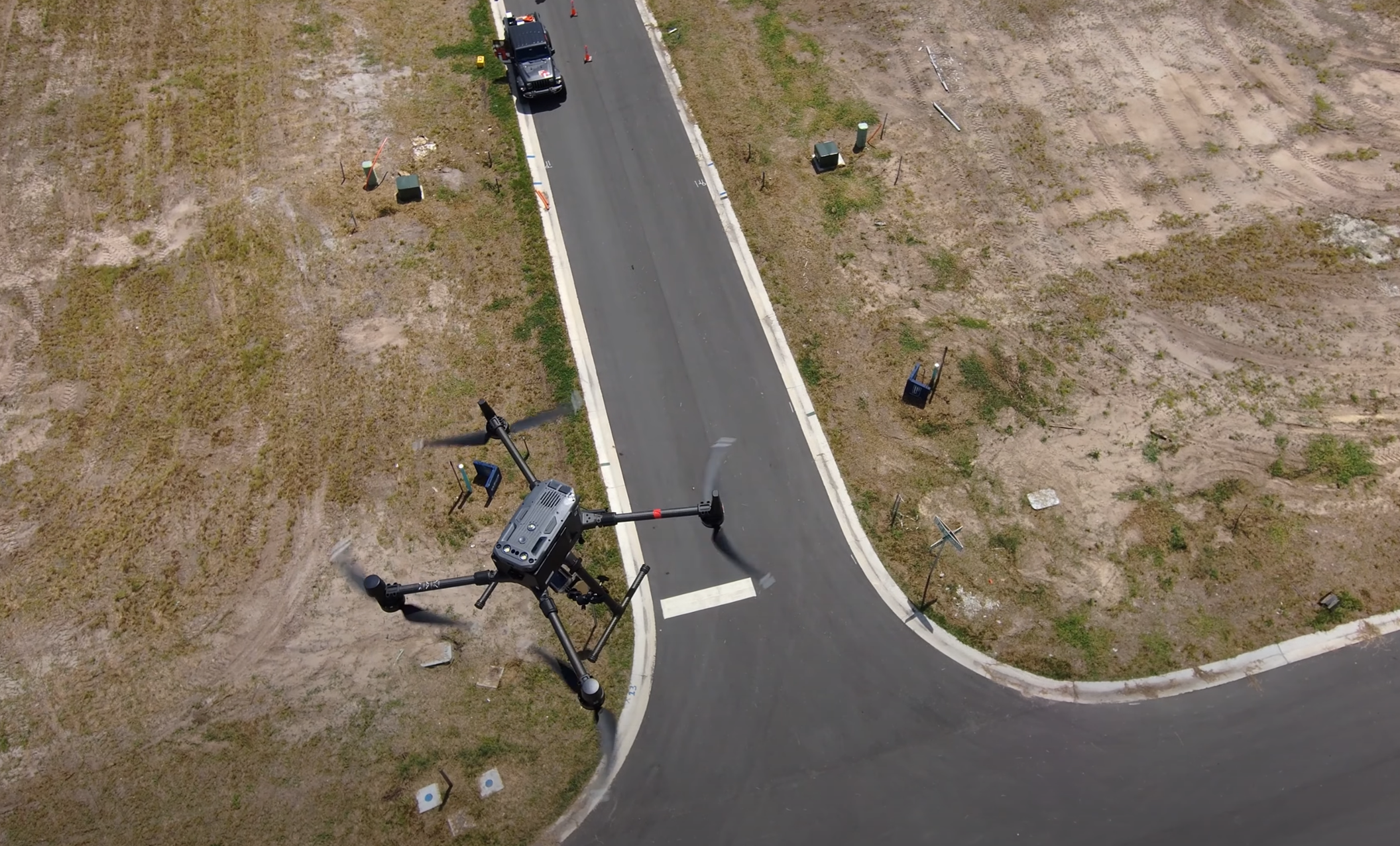
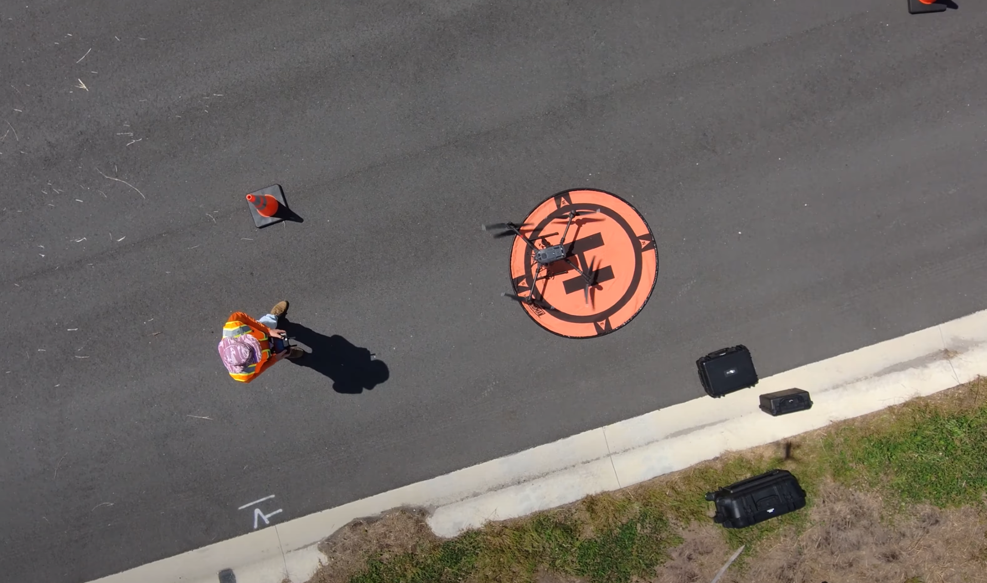
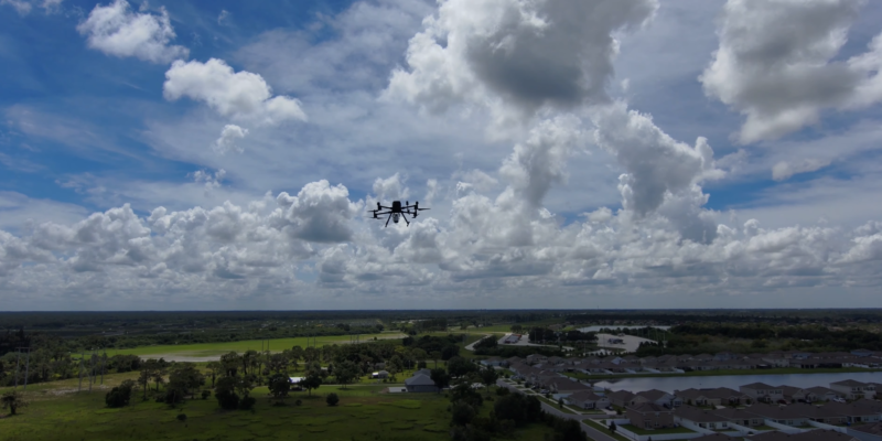
- Drones and Aerial Data Capture: Drones are an essential tool for tracking project progress, conducting site inspections, and capturing aerial images. These devices allow for faster data collection, reducing the need for on-site inspections and providing developers, contractors, and builders with near real-time insights into site conditions.
- 3D Modeling and Photogrammetry: By creating detailed 3D models of development and construction sites, companies can better visualize project stages, identify potential issues early, and ensure alignment between all stakeholders – whether developers, contractors, or end-users. Photogrammetry—creating 3D images from aerial photographs—is widely used for progress tracking but often lacks the precision needed for critical tasks like volume calculations and topography assessments.
- LiDAR Technology: LiDAR (Light Detection and Ranging) offers far greater precision than photogrammetry. Using lasers to measure distances, LiDAR produces accurate, survey-grade models of construction sites, allowing for better project management and dispute resolution.
Challenges That Persist in Land Development and Construction
Despite technological advances, both the construction and land development industries continue to struggle with several recurring challenges:
- Inaccurate Progress Tracking: Traditional aerial snapshots taken periodically throughout a project often fail to provide the level of detail needed for accurate tracking, leading to disputes between contractors and developers over project progress.
- Costly Disputes: Damage to utilities, site conditions, or construction errors can result in significant delays and additional costs. Developers and contractors face difficulties resolving these disputes without accurate records of the site's condition at each stage.
- Project Delays and Miscommunications: Managing large-scale construction projects requires constant communication between all stakeholders. However, outdated data and inconsistent site inspections often lead to miscommunication, slowing down project timelines and increasing costs for all parties involved.
The Need for Advanced, Customizable Solutions
As these challenges highlight, relying on generic technology solutions is no longer enough. While photogrammetry and basic drone imagery offer improvements over manual site inspections, they often fall short when it comes to precision and accuracy. That’s where more advanced technologies, like LiDAR-powered 3D terrain models, come into play. These tools provide a more comprehensive and detailed view of the site, reducing errors, improving decision-making, and streamlining project management.
This is where survey and engineering companies like Florida Design Consultants (FDC) set themselves apart.
Delivering Proprietary Customizable 3D Terrain Modeling Solutions
Florida Design Consultants (FDC) offers a highly advanced and customizable 3D terrain modeling solution designed to meet the specific needs of developers, home builders buying developed lots, and contractors. Powered by Propeller’s innovative software platform, FDC’s solution integrates the best of modern technology—photogrammetry, LiDAR, and 360-degree imaging—while enhancing it with FDC’s extensive local expertise and survey-grade accuracy.

The Power of LiDAR and Photogrammetry
FDC’s solution combines the precision of LiDAR with the accessibility of photogrammetry. While competitors often rely solely on aerial images for progress tracking, FDC takes it a step further by using LiDAR technology to provide detailed topographical data.
This combination of technologies allows FDC to create models that go beyond surface-level snapshots, offering:
- Survey-Grade Precision: LiDAR enables developers to accurately measure distances, elevations, and volumes. Whether calculating earthwork or resolving disputes over site conditions, FDC’s solution provides the data needed to make informed decisions.
- 360-Degree Ground and Aerial Photos: In addition to aerial images, FDC integrates ground-level photos and 360-degree views into its models. This gives contractors and developers a full picture of the site, helping them catch potential issues early and avoid costly errors.
Customization and Local Expertise
While FDC leverages Propeller’s powerful software, it’s the modifications and customizations made by FDC’s team that make the solution truly unique. Unlike national companies offering generic technology, FDC tailors its services to each client’s specific needs. For example, in one project, a developer needed more detailed images of curbing work. FDC adjusted the flight path of its drones to capture higher-resolution images at a lower altitude, providing the exact level of detail the client required.
This level of customization, combined with FDC’s use of licensed FAA pilots and survey-trained experts, ensures that every model meets the highest standards of accuracy and relevance to the project. FDC’s clients benefit from:
- Tailored Solutions for Unique Projects: FDC can adjust its models to capture the data most important to the client, whether it’s focusing on earthwork, utilities, or specific construction elements like curbing.
- Real-Time Data Access: _ With FDC’s solution, clients can remotely access the most up-to-date site information, reducing the need for frequent site visits and enabling better decision-making.
- Local Expertise and Support: As a local firm, FDC offers more than just technology. Their team of experts provides on-the-ground support, ensuring that the technology works seamlessly within the context of each project.

Real-World Impact: FDC Helps Resolve a Client Dispute
One of FDC’s clients, a large residential developer, encountered a dispute over earthwork completion. The contractor claimed to have completed 80% of the work and requested payment accordingly. However, the developer was unsure whether the claim was accurate.
To resolve the issue, FDC used LiDAR technology to create a highly accurate 3D model of the site. By calculating the exact volume of dirt moved, the developer could verify the contractor’s claim. This allowed the developer to avoid overpayment and keep the project on budget—highlighting the value of FDC’s precise, data-driven approach to construction management.
Why Choosing the Right Partner Matters
In an industry where accuracy, efficiency, and data-driven decision-making are critical, selecting the right partner for your construction projects can have a significant impact on project success. The right partner will not only provide access to cutting-edge technology but will also offer the expertise to ensure that the data collected is precise and actionable. It's not just about having the tools—it's about knowing how to use them effectively and tailoring them to meet the unique needs of each project.
When looking for a partner, it's essential to choose one that offers:
- Survey-Grade Accuracy: The data collected should meet the highest standards of precision, especially when it comes to tasks like earthwork calculations and tracking project progress.
- Customizable Solutions: Every project is different, so your technology partner should be able to adapt their services to fit your specific needs, whether it's tracking detailed site conditions or providing remote access to real-time data.
- Local Knowledge and Expertise: A local partner brings the advantage of on-the-ground support and an understanding of regional regulations, site conditions, and industry standards.
This is where Florida Design Consultants (FDC) stands out. By leveraging Propeller’s advanced software platform, combined with FDC’s local expertise and commitment to precision, FDC offers a solution that not only meets these criteria but exceeds them. FDC's team of licensed FAA pilots, trained surveyors, and engineers ensures that every project benefits from survey-grade accuracy, tailored solutions, and dedicated support throughout the project lifecycle.
Conclusion
As the construction industry continues to evolve, embracing the right technology and choosing the right partner are crucial for overcoming challenges like project delays, cost overruns, and disputes. Florida Design Consultants (FDC), powered by Propeller, provides a comprehensive and customizable 3D terrain modeling solution that delivers survey-grade accuracy, real-time data, and expert local support. With FDC’s deep expertise and commitment to precision, developers and contractors can make informed decisions, streamline project management, and ensure long-term success in a competitive market.
Authors
Jared T. Patenaude, PSM | Executive Vice President
Brian Drinkwater | Survey Project Manager


